San Bernardino sits atop the thick alluvial fan deposits of the Bunker Hill Basin, where you hit interbedded sands, silts, and gravels just a few feet down, and groundwater often appears at 30 to 60 feet—sometimes shallower near the Santa Ana River. That combination makes any cut deeper than 12 feet a precision exercise in earth pressure balance. We apply slope stability analysis early in the design phase to bracket failure surfaces before selecting a shoring system, because the basin's layered stratigraphy doesn't take well to generic solutions. The city's proximity to both the San Andreas and San Jacinto faults means seismic earth pressures and potential liquefaction drive wall stiffness requirements, not just static lateral loads. Our design approach integrates the latest IBC site classification and ASCE 7 seismic parameters specific to San Bernardino's zip codes.
In San Bernardino's alluvial basin, a deep excavation design that ignores the groundwater perched within the gravel lenses is a design that will fail on the first dewatering attempt.
How we work
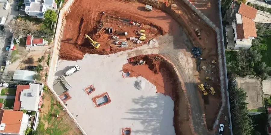
At 1,053 feet above sea level, San Bernardino's deep excavation projects often contend with the transition zone between the alluvial basin and the foothills of the San Bernardino Mountains—where boulders and weathered granitic colluvium start showing up in the cut face. We typically run a pre-design site characterization using borings logged to ASTM D2487 and shear wave velocity profiles to nail down the site class, because jumping from Site Class C to D in a single city block is common here. For cuts exceeding 20 feet in the downtown corridor, soldier pile and lagging walls with multi-level tiebacks have proven reliable, provided the bond zone is developed well past the active wedge. When the water table is high, we lean on base stability checks and often recommend dewatering with a perimeter well system designed to keep the excavation base dry and heave-resistant during construction.
Questions and answers
What is the typical cost range for geotechnical design of a deep excavation in San Bernardino?
For a standard commercial excavation between 15 and 35 feet deep, the geotechnical design and analysis package typically runs between US$2,010 and US$7,300, depending on the complexity of the shoring system, number of tieback levels, and whether groundwater control design is required. Projects adjacent to sensitive structures or requiring 3D finite element analysis will fall toward the upper end.
How does the San Andreas Fault proximity affect deep excavation design in San Bernardino?
The fault proximity increases the seismic coefficient used in pseudo-static wall analysis. We follow ASCE 7-22 to determine the peak ground acceleration at the site, then apply the appropriate kh for the wall's yield acceleration. Near-fault directivity effects can also increase the demand on tieback connections, so we often specify proof testing at 133% of design load for critical anchors.
What dewatering challenges should I expect in the Bunker Hill Basin?
The basin's stratigraphy includes discontinuous gravel lenses that act as semi-confined aquifers. You may dewater one lens successfully and still have water flowing from another lens 10 feet higher. We design staged dewatering with observation wells to monitor drawdown in real time, and we check for settlement potential under nearby buildings using one-dimensional consolidation analysis on the silty clay layers that drape the gravels.
When is a secant pile wall required instead of soldier piles in San Bernardino?
Secant piles become necessary when the excavation extends below the groundwater table and you need a cutoff wall to prevent piping and base instability, or when adjacent structures are so close that the 1- to 2-inch lagging deflection of a soldier pile wall is unacceptable. In San Bernardino's historic downtown, we've used secant piles for cuts as shallow as 18 feet because the adjacent brick buildings simply can't tolerate any ground loss during lagging installation.